Smart Skipper
Smart Skipper
CONFIDENTLY PLAN COASTAL PASSAGES
CONFIDENTLY PLAN COASTAL PASSAGES
RYA OCEAN YACHTMASTER & ASTRO NAVIGATION
5 Days: €690

Advanced Shorebased Navigation
Quality & Fun Instruction from an Experienced Skipper
Some of the highlights of this course are the Ocean Weather Forecasting and Weather Routing, Use of Sextant, Ocean Passage Preparation & Publications, Making landfall safely…for us, its about learning…not just passing an exam!
The RYA Yachtmaster Ocean Theory course is the first step toward achieving the prestigious RYA/MCA Yachtmaster Ocean Certificate of Competence. Ideal for aspiring blue water sailors or those interested in traditional navigation, the course provides essential theoretical knowledge for ocean passage-making as a mate or skipper.
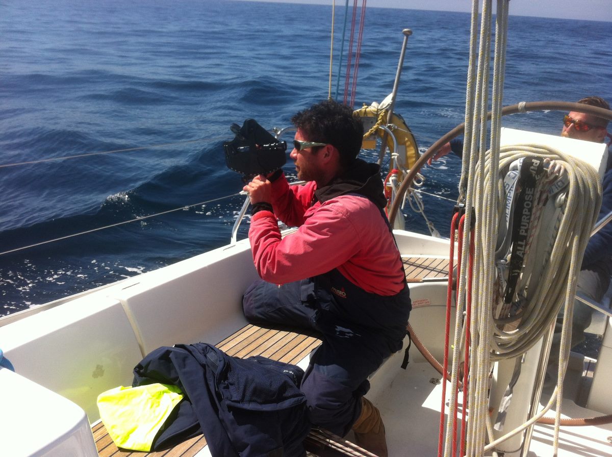
A key focus is astro-navigation, demystifying the sextant and enabling you to take accurate sights at sea for position fixing and compass checks. The course also covers worldwide meteorology, passage planning, and ocean communications. You’ll explore essential publications such as routeing charts and pilot books.
With modern technology playing a vital role in ocean navigation, the course examines computer programs, internet resources, and satellite/radio broadcasts for route planning and weather forecasting. Practical aspects of long-distance sailing, including crew management, watch-keeping, victualling, and fuel and water management, are also covered. Emergency preparedness and equipment will be discussed, ensuring you gain a comprehensive understanding of ocean sailing.
- Use of navigation instruments such as plotters and dividers
- Understanding latitude, longitude, knots, and nautical miles
- Variation and deviation principles
- Applying UT and DST adjustments
- Position fixing techniques
- Two- and three-point fixes with angle calculations
- Dead reckoning, estimated positions, and the running fix where possible
- Navigational errors and their impact
- GPS and other electronic navigation aids
- Planning for coastal and offshore voyages
- Coastal and offshore meteorology, including:
- Forecast information sources
- Synoptic charts and low-pressure systems
- Coastal communication and distress systems, including Navtex, VHF, EPIRBs, and SARTs
Check out our WWS YouTube Navigation Playlist for some good “how to” vids & look at the course structure below.


